It’s not your imagination, there’s a chill in the air.
And by week’s end that chill will likely result in some snowflakes.
Environment Canada meteorologist Doug Lundquist said we’re headed into snow season with flurries expected in the valley bottom on Wednesday, while Friday may bring a mix of rain and snow.
While snow will fall, it won’t likely stick in lower lying areas.
Up in the higher elevations, however, it’s a different story.
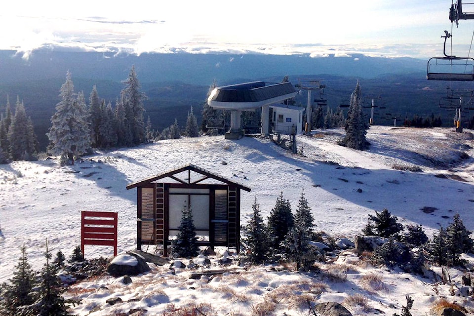
The Pennask summit should get up to five centimetres of snow in the next 24 to 36 hours and Joe Rich and the local ski hills are already being dusted with snow.
None of that is out of the ordinary. In fact, Lundquist said there’s usually more this time of year.
“I was looking at the mountains when I was coming in today and there’s not a lot of whiteness happening,” he said.
Usually it’s around the beginning of September when local mountains are starting to get snow and that’s yet to happen so we’re still experiencing the effects of a hotter than normal summer.
That, he said, may be why this cold snap seems so unusual.
“So far we’re a little toward normal (in terms of temperatures),” he said. “The next week will be a bit colder than the average, 12 and 13 C highs, but just barely… maybe by just a couple of degrees.”
The reason is a flow of cold from the north west.


