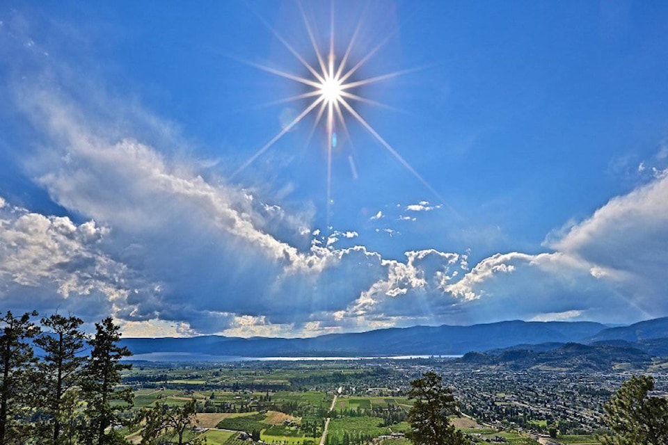
Temperatures will be around 10 C warmer than normal over the next two days in the Okanagan and Shuswap, according to Environment Canada.
Derek Lee, a meteorologist at the federal agency, said a ridge of high pressure that's been building across B.C. will help daytime highs reach between 25 and 27 C on Thursday and Friday (May 1 and 2), respectively.
"Our forecast moving forward, even into summer, is that we're looking to see warmer-than-normal trends in B.C.," Lee said.
The upcoming blast of warmth for �鶹��ѡ and Penticton won't break any records for the beginning of May, Lee added.
But the same can't be said for Vernon, where meteorologists say a high of 27 C on May 2 could rank in the "top two or three" for the daily record that dates back to 1900.
"To really break records in �鶹��ѡ or Penticton (for this time of year), you have to be closer to 30 C," Lee said.
He also added that Kamloops will see the highest temperatures in B.C. Interior on Friday, with the community expected to reach a daytime high of 29 C.
After daytime marks reach the mid-to-high-20s on Thursday and Friday, temperatures are expected to return closer to normal on Saturday.
Environment Canada says �鶹��ѡ, Vernon, Penticton and Salmon Arm will see temperatures of 16 C, with a chance of rain.
"There will be a very sharp, cool air mass, and with that, it will bring a chance of precipitation to the Interior," Lee said, adding that the rain will be on the "lighter side.
"There will be nothing more than 10 millimetres," he said. "It will be good to get the ground wet again."


